A network of pictures snapped by everyday Australians hopes to assist in predicting bushfire threats across the nation.
Scientists from the University of the Sunshine Coast have designed an app tailored for trail-walking and outdoor loving citizens who can assist in predicting where bushfire hotspots may lie.
The National Bushfire Resilience Network (NOBURN) project stems from two years of research in artificial intelligence, forestry, human factors and science communication at the University of the Sunshine Coast and University of Adelaide.
The app encourages people in their outdoor travels to document forest and fuels, with that data then processed by artificial intelligence to help predict the probability, severity and burn area of potential bushfires.
It comes as the Actuaries Institute’s climate index predicts a high bushfire risk in summer, including a return to an El Nino phase, not seen since the devastating 2019-20 bushfires.
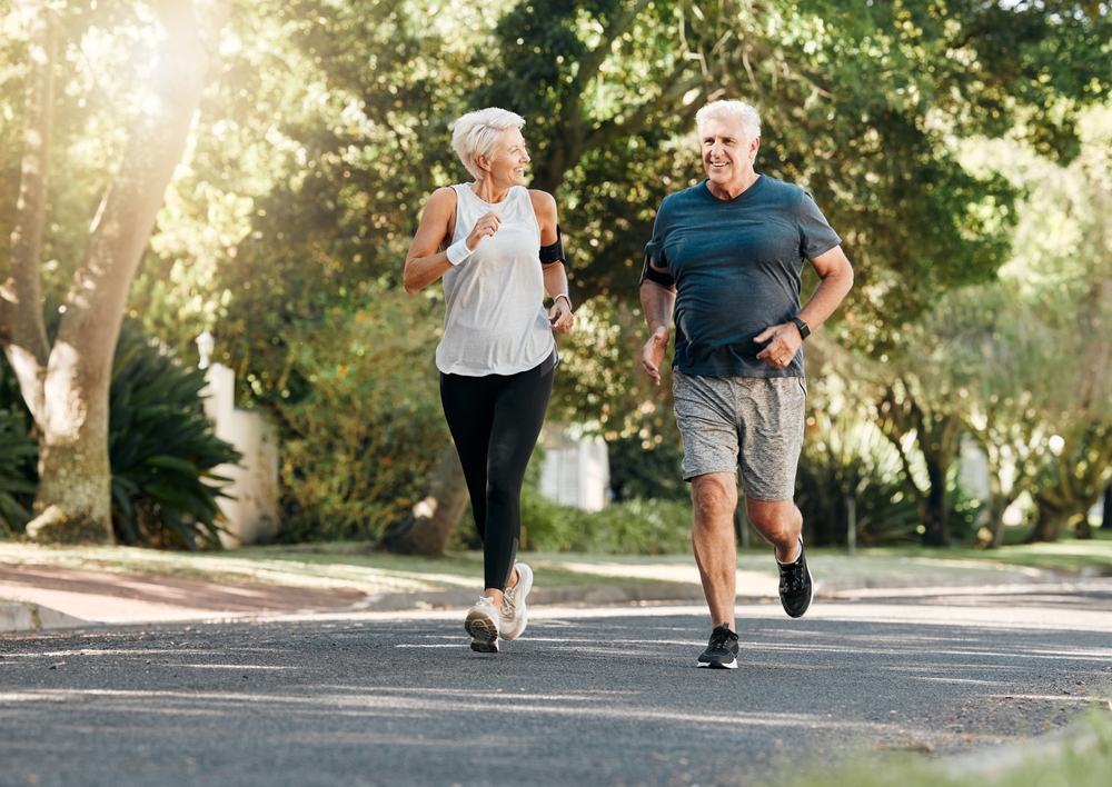
“Fire season is approaching. After some very wet years with everything growing nicely, there’s a lot of fuel available,” chief investigator Dr Sam Van Holsbeeck said.
“So what we want people to do is to go into the forest, snap a pic and help predict.”
The app’s development began after the devastating Black Summer fires that destroyed more than 24 million hectares and killed 33 people.
Professor Mark Brown from the University of the Sunshine Coast said the app would help predict future disasters of that scale.
“While naturally occurring bushfires cannot be avoided, there is an opportunity with this project to predict their likelihood and implement strategies to minimise their impact on the environment, property and life,” he said.
Fraser Barton
(Australian Associated Press)